


Understanding the Power of Location-Based Data Technology
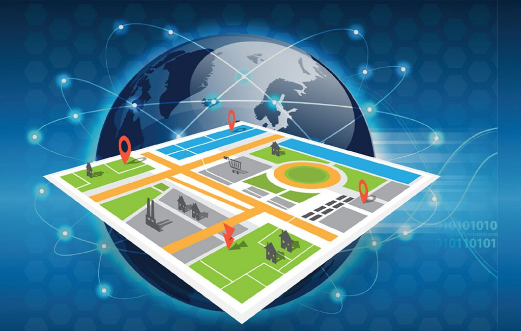
The world is increasingly being mapped, measured, and understood through the lens of Geospatial technology, a powerful field dedicated to capturing, analyzing, managing, and visualizing data linked to a specific location on Earth. This discipline is built upon a foundation of core technologies, including Geographic Information Systems (GIS) for data analysis and visualization, the Global Positioning System (GPS) for precise location tracking, and remote sensing from satellites and drones for large-scale data acquisition. At its essence, geospatial technology transforms simple location coordinates into a rich tapestry of information, allowing us to see patterns, relationships, and trends that are not visible in traditional spreadsheets or charts. It answers the fundamental "where" question, providing critical context that enhances decision-making across virtually every industry and public sector.
The applications of this technology are as diverse as they are impactful. Urban planners use geospatial data to design smarter, more sustainable cities by analyzing traffic flow, optimizing public transport routes, and identifying ideal locations for new infrastructure. Emergency response teams rely on it for real-time disaster mapping to coordinate rescue efforts and assess damage after a hurricane or earthquake. In agriculture, it enables precision farming, where farmers use satellite imagery and GPS-guided tractors to apply water and fertilizer only where needed, increasing yields while reducing environmental impact. For logistics companies, it is the engine of supply chain optimization, tracking shipments in real-time and calculating the most efficient delivery routes, saving both time and fuel.
Historically a domain for highly trained experts, geospatial technology has undergone a profound democratization. The integration of GPS into every smartphone and the rise of intuitive, cloud-based mapping platforms have made location intelligence accessible to everyone. Businesses can now easily embed interactive maps into their websites, while consumers use location-based services for everything from navigation to finding a nearby restaurant. Behind the scenes, the convergence of geospatial data with artificial intelligence and cloud computing is unlocking even more powerful capabilities, enabling predictive analytics and the processing of immense datasets to solve some of the world's most complex challenges, from climate change monitoring to global health surveillance.
 Portuguese
 English
 Arabic
 French
 Spanish
 Deutsch
 Turkish
 Dutch
Dutch
 Italiano
 Russian
 Romaian
 Portuguese (Brazil)
 Greek
Greek